This is Part-3 of a trip report from my very first TGO Challenge, a walk across the Scottish Highlands. If you missed the first parts, you can find them here:
Planning for the TGO
Part-1: Torridon to Orrin River
Part-2: Orrin River to Loch Ness
Day 5 – Crossing the Monadhliath
Ault-na-Goire to River Findhorn
09:50-17:20 (7.5 hours), 26 km
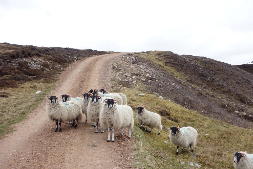
It was hard to say goodbye to Ault na Goire and the warm hospitality of Janet and Alec Sutherland. After a very filling breakfast I took my tent down and set off toward the Monadhliath Mountains. Not so much mountains as long, rolling hills, this was perhaps the area that I was most excited to see and also most anxious to get across. In bad weather with rain and fog, navigating through these indistinguishable hills can be notoriously difficult. But what I really wanted to see was the impact of rapidly expanding wind turbine developments. Wind power is a controversial topic in Scotland. In most places it’s thought of as a clean form of power. But in the Monadhliath you can see first-hand how it’s rapidly changing the face of the landscape. Construction and access roads criss-cross the land and heavy machinery thunders by. What’s left of this wilderness is fast disappearing.
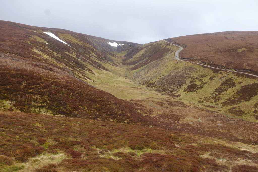
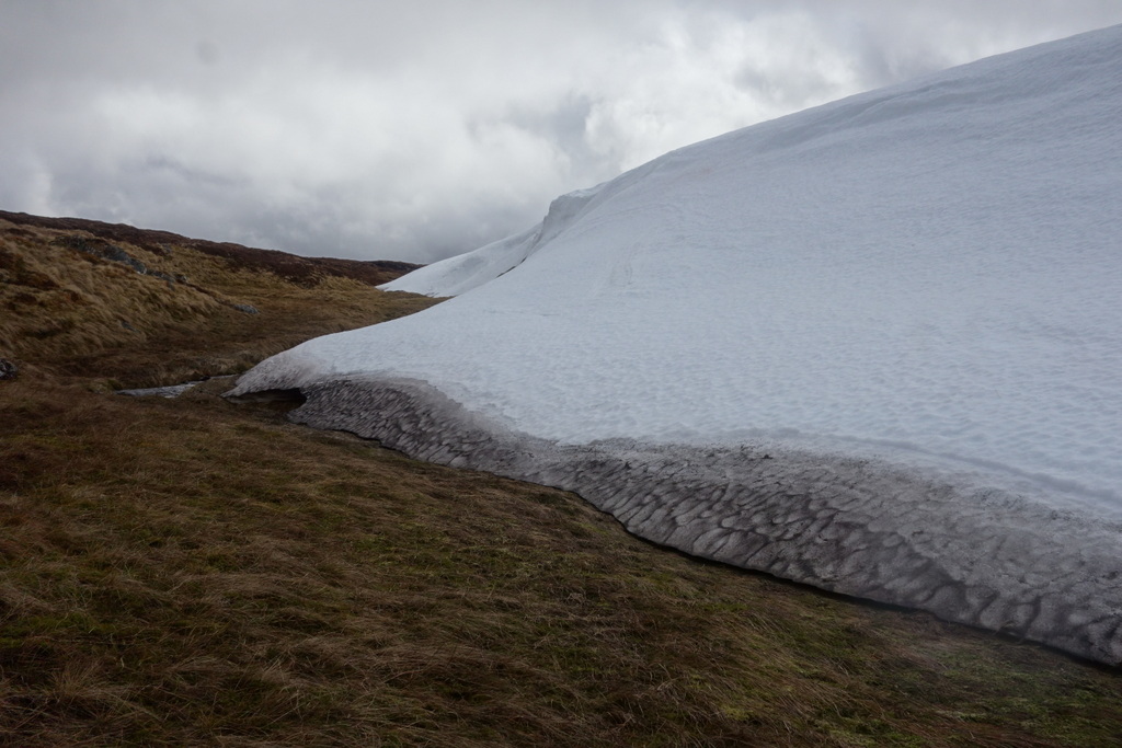
About as soon as I could I left the wind turbine roads and started walking across the boggy, wet moor. At times I had to make large diversions to avoid steep muddy drops into ravines. I counted at least a dozen stream crossings on the ascent, each feeling colder than the last, as I approached freshly melting snow. Yet, it felt good to walk through wilderness, away from the roads and to follow the tracks of deer and rabbit. While it did rain off and on, there was little fog and I found the navigation within my capabilities. In heavy fog it would be quite the challenge!
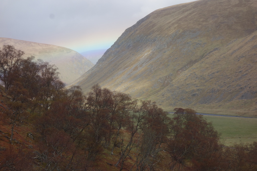
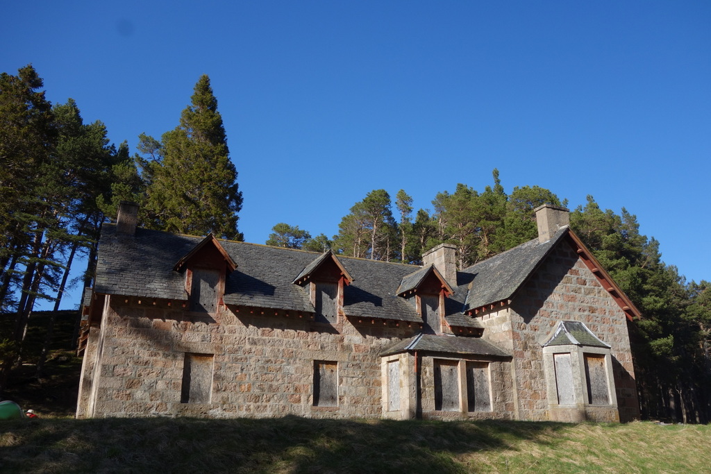
Coming down from the Monadhliath hills to the River Findhorn was quite a treat. After walking through high moors all day, surrounded by short scraggly brown brush, it felt nice to stroll alongside lush grass and under green leaves. But as I followed the Findhorn it became more and more windy. Sheets of rain – or was it just water whipped up from the river – started whipping my back, then blasting me broadside. As I crossed the river straight into the face of the gale, it almost blew me off my feet. As quickly as I could I stumbled over to a ruin at the edge of a forest and set up my tent in the most protected spot I could find. I worried about being too close to vulnerable trees after having seen so many knocked down by previous wind storms. Fortunately, I survived the night without any close calls.
Day 6 – The Burma Road
River Findhorn to Aviemore
07:30-15:30 (8 hours), 30 km
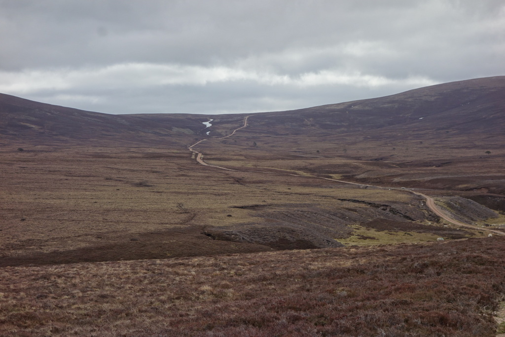
Day-6 was perhaps my hardest day on the entire walk across Scotland. It wasn’t the longest, certainly not the highest, and the navigation was quite easy. But, today, I had to face the infamous “Burma Road”, so called by locals because it’s so long and so straight that you feel like you’re walking all the way to Burma. Constructed by prisoners of war in the 1940’s, this 21 km long dirt track looks and feels like a war-time project. It really makes you dig deep to find the motivation to keep walking. Fortunately, I spotted a walker in the distance up ahead of me and made it my aim to catch up. I didn’t even come close and lost sight of him when he crested the top. Despite being so desolate I did see a number of mountain bikers. Even though I’m sure he was going quite fast, the first rider seemed to take hours to eventually reach me… going downhill… that’s how long the road is. The other riders were all huffing and puffing uphill, making me pretty happy to be on foot.
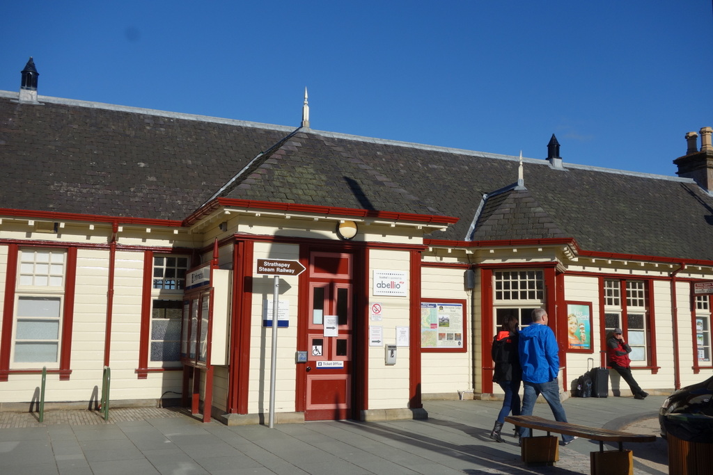
Once you finally do finish the Burma Road there’s still a rather long walk into Aviemore. It’s mostly on or near busy roads. Not my favourite kind of walking but I really wanted to see Aviemore. I’m not sure why so many other Challengers spoke so badly of it. I found the town pleasant enough, if rather touristy. That said, I feel like walking the Burma Road into Aviemore is a right of passage for the Scottish hill walker and I’m glad to say I’ve checked it off my list.
Day 7 – Lairig Ghru and a fighter jet!
Aviemore to Derry Lodge
08:30-18:30 (10 hours), 28 km
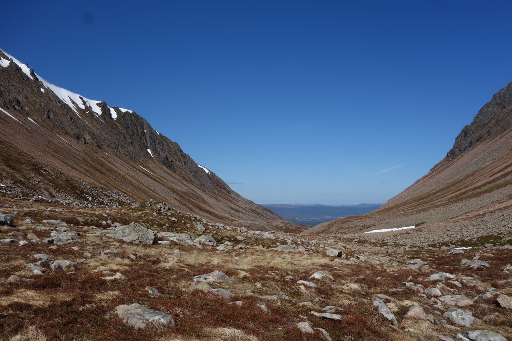
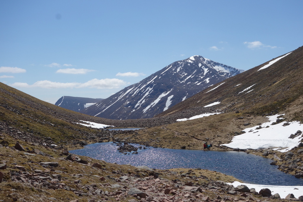
A classic route from Aviemore to Braemar passes through the Lairig Ghru, a spectacular high alpine pass cut through the Cairngorm Mountains. As you walk up and into this pass, Ben Macdui, Scotland’s second highest mountain, towers over you to one side, and heavily corniced ridges loom overhead to the other side. It’s almost as if you’re passing through a tunnel. For sheer beauty, the Lairig Ghru was definitely one of the highlights of my crossing. But you sure wouldn’t want to be here on a day with nasty weather or high avalanche risk.
I lucked out on the weather. Sunny, warm, and calm. Much like the beautiful conditions I had when I started walking from Torridon. I couldn’t help but savour such pleasant weather and stopped right at the top of the pass for over an hour, enjoying a packed lunch from the Aviemore Youth Hostel. All of a sudden, without any warning, a huge boom opened up all around me and as I looked up to see what it might be a military fighter jet roared past slicing through the sky! It was barely above the ground, certainly lower than the surrounding peaks. What a nice joy ride that must be. Sadly, I was much too slow to capture all this on camera.
I found a nice camping spot just beyond Derry Lodge with the sun still shining well into the evening. I’m pretty sure there were still a few rays falling on my tent when I tucked in for the night.
Day 8 – 2500 Stag Heads & Murder Mystery Theatre
Derry Lodge to Braemar
07:30-11:00 (3.5 hours), 15 km
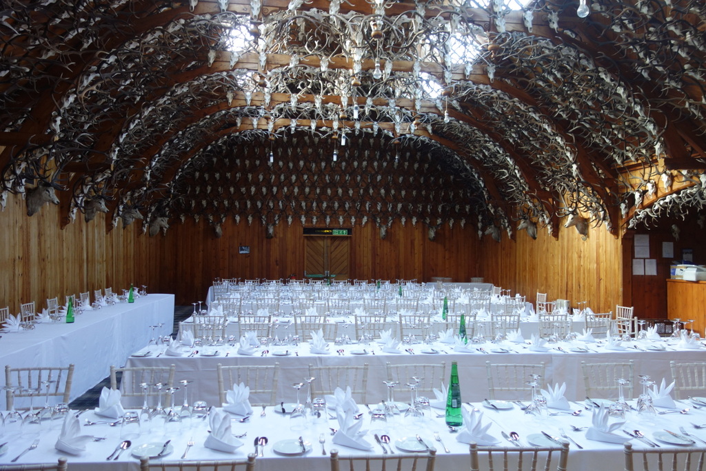
The walk from Derry Lodge to Braemar is but a stroll and a pleasant one at that. I arrived at Mar Lodge at 8:30am and asked the groundskeeper if I could wander around and take some photos. Knowing that a wedding was taking place that weekend, I didn’t want to intrude. We got chatting and when he learned that I was from Canada he responded “well, you can’t have come all this way and not see the crown jewel of Mar Lodge… I’ve got something very special to show you!”
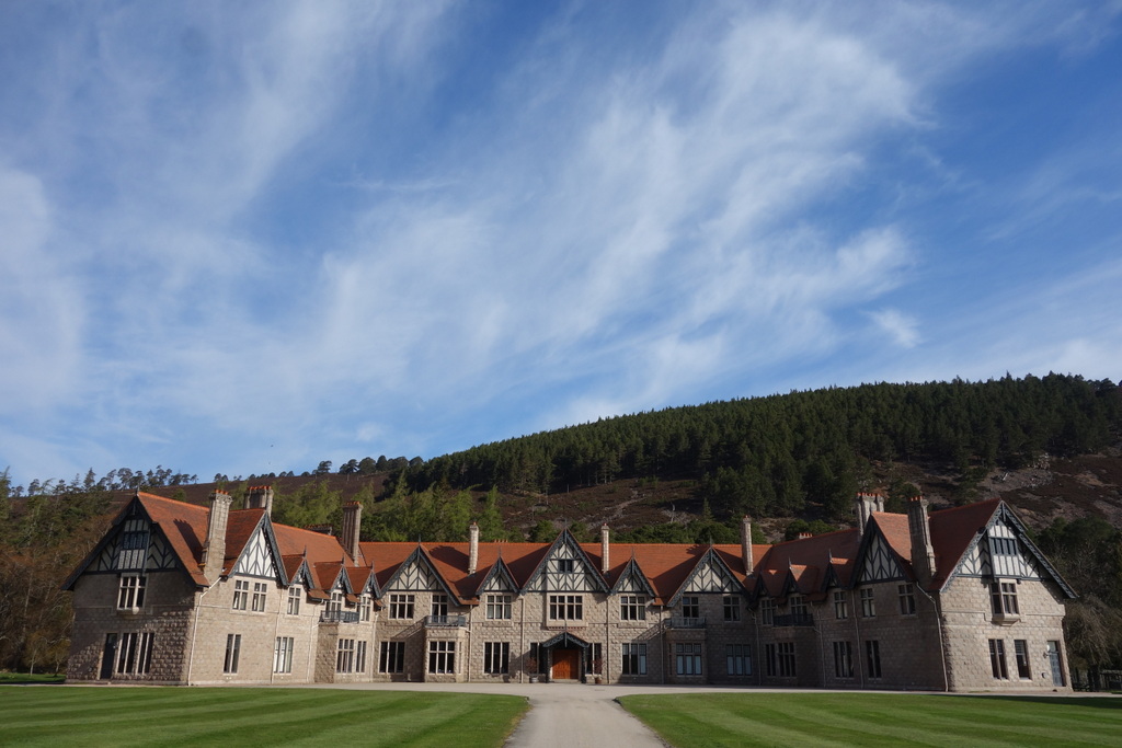
My jaw nearly dropped when he unlocked the door to the dining hall. Surrounding me in every direction I looked were stag antlers. Thousands of them! At once it felt like both an elegant ball room and a cave of death. He said I really have to return during the Braemar Gathering when the lodge hosts a ceilidh, a traditional Gaelic social gathering replete with music and dancing and, of course, good wholesome Scottish fights.

As I continued past Mar Lodge toward Braemar along the River Dee, a fellow out walking his dog shouted out to me “hey, are you doing the TGO Challenge?” I was surprised. Up till this point when I’d met people (non-Challengers, that is) and told them about the walk across the country, none of them had heard of the event. Turns out, I’d just met Richard Baker, four-time finisher himself and, along with his wife Marilyn, proprietor of the B&B where I planned to stay for the next two nights!
Apart from running a very nice B&B, Marilyn and Richard enjoy taking part in a local murder mystery theatre group and they just happened to be performing the same night I arrived — in the Braemar Castle, no less! That’s luck for you. I really enjoyed the whole evening, although I was clueless as to who-done-it.
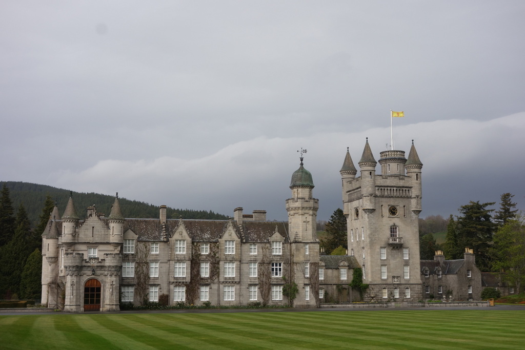
Danny, Krista, and Sil drove out from Aberdeen to join me. We enjoyed strolling around Braemar but the highlight of our get-together was Balmoral Castle. A summer residence for members of the Royal Family since 1852, the castle really gave us a strong sense of rich history.
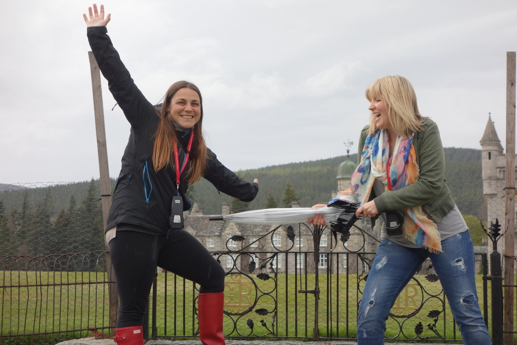
Sil stayed with me for the weekend. It was really nice taking a day off walking and we had a great time relaxing and exploring Braemar together.
Up next in Part-4, the Challenge turns into a party!
TGO Challenge 2015 trip report index:
Planning for the TGO
Part-1: Torridon to Orrin River
Part-2: Orrin River to Loch Ness
Part-3: Loch Ness to Braemar
Part-4: Braemar to St Cyrus

Very good, Justin, and interesting to get your ‘fresh’ perspective on a part of the world that is much more familiar to those of us in the UK. I’m looking forward to the remaining ‘parts’.
Thanks Martin,
You live in a part of the world with beautiful, rugged wilderness and rich cultural history. The TGO Challenge is a great event. It encourages people like myself to come explore Scotland much more deeply than we otherwise might. Meeting other walkers such as yourself is icing on the cake.