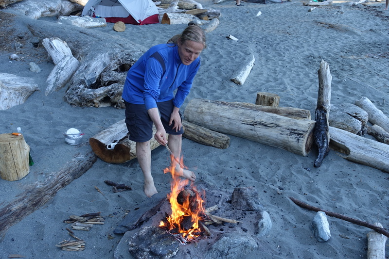
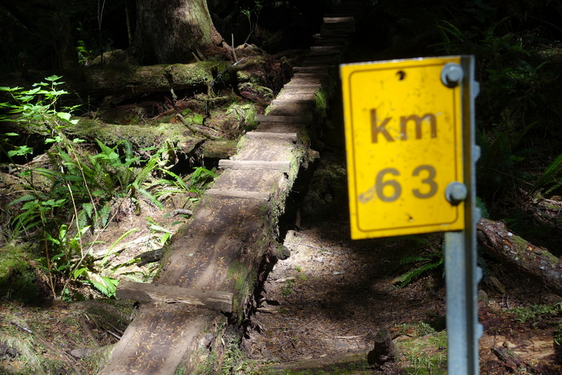
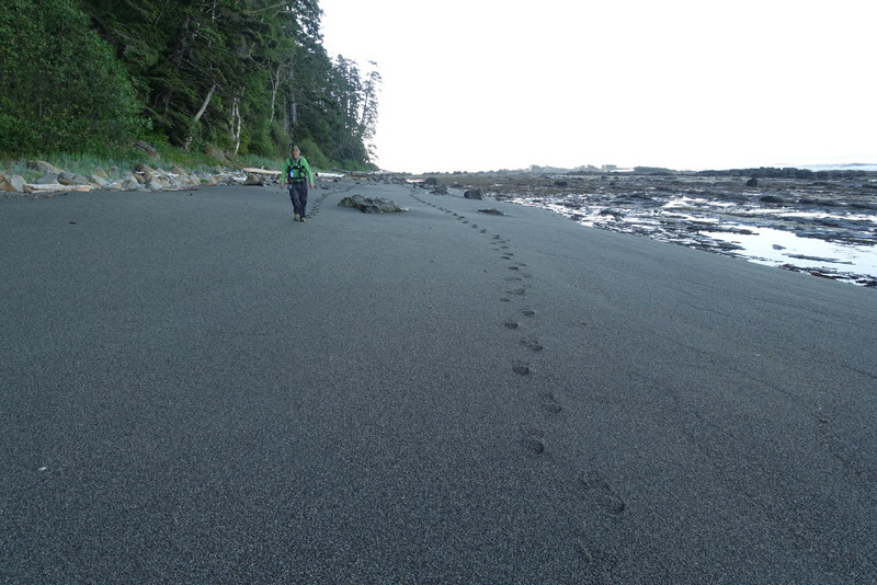
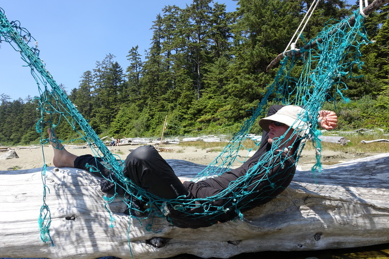
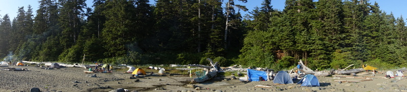
When I decided to hike Vancouver Island’s West Coast Trail again this year, I had no idea it would be the driest summer since 2003. The WCT is known for torrential rain and mud bogs so deep you sink in past your knees. Those are the kind of conditions I encountered when I first hiked the trail in May 2013. This year the conditions couldn’t be more different. Seven days of perfectly dry weather, bright sunny skies, and barely enough mud to dirty your pant legs. We had short hiking days with lots of time to swim in the warm creeks and relax around campfires in the evening.
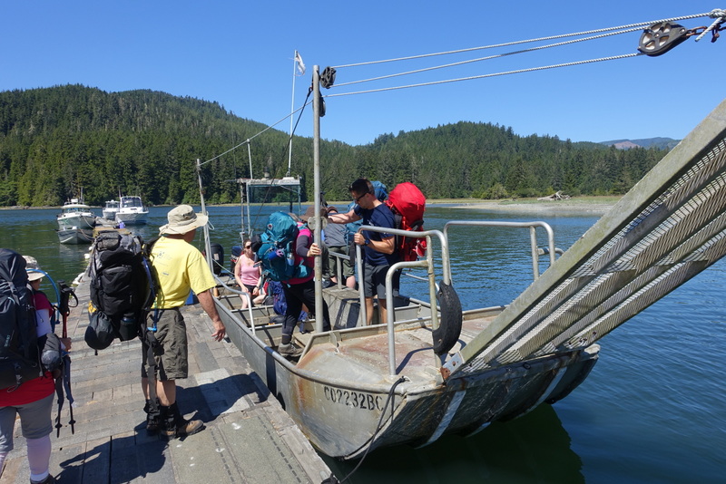
Day 1 – Gordon River to Thrasher Bay (south to north)
6 km, 2 hours
Just before starting the WCT we also hiked the Juan de Fuca trail. The unusually dry conditions made the risk of a forest fire exceptionally high, so there was a fire ban in place. When we arrived at the WCT information center we were excited to learn that the ban excluded the entire WCT. We couldn’t have been happier. Now, if only we’d brought something tasty to cook over the fire.


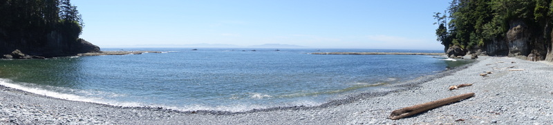
Day 2 – Thrasher Bay to Camper Bay (via beach)
8 km, 3 hours
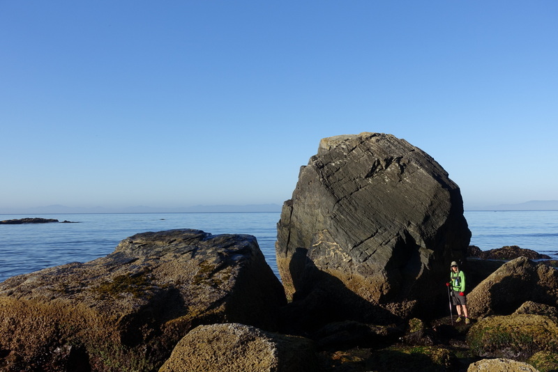
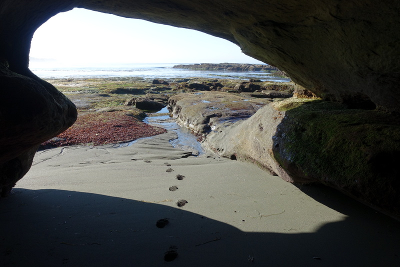
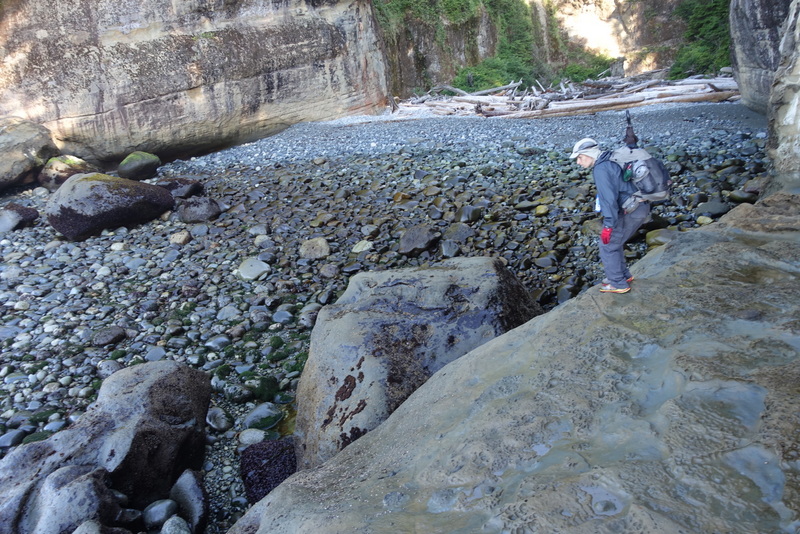
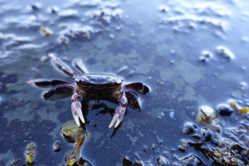
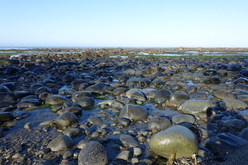
On my first WCT hike, I’d walked the inland trail from Camper Bay to the Gordon River trailhead. It’s a rugged trail full of rocks and roots and endless ladders. I enjoyed it but really wanted to come back to walk the infamous beach section around Owen Point. I’m so glad I did. Navigating through this coastal boulder field was one of the highlights of the whole walk and the cave at Owen Point is spectacular.
Day 3 – Camper Bay to Walbran Creek (via beach to Sandstone Creek)
9 km, 3 hours
To continue from Camper Bay to Walbran Creek, one normally takes the inland trail. Michael and I decided to try walking along the beach. The perfect weather, unusually dry conditions, and agreeable tides convinced us that this difficult and risky alternative was worth attempting.
Almost immediately after leaving the Camper Bay campsite you come to a dangerous surge channel. You have to drop yourself down into it then climb back out. It’s filled with slimy slippery seaweed. I’d definitely not want to be anywhere near it at high tide. In fact this whole area is under water at high tide. If you’re thinking of trying this alternative to the inland trail, I’d only do it from the south. If you try it from the north and get to this surge channel and find it impassible, you will have to walk all the way back to your starting point, losing hours of progress and maybe even get trapped by the incoming tide.
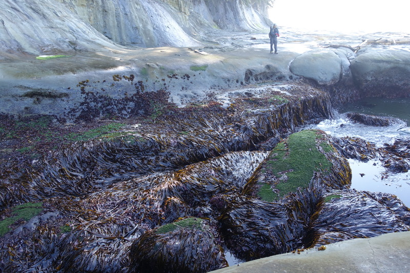
Once beyond the initial surge channel, the going gets easier. There are a few more channels to cross but nothing so heinous. The walking is actually quite pleasant – a long flat shelf.

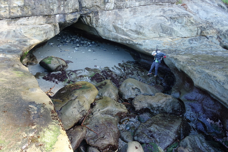
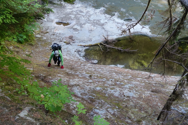
The tricky stuff isn’t over yet. There’s a slippery down-climb from the beach shelf to Sandstone Creek followed by an unbelievably slick expanse of rocks at the mouth of the creek. I must have nearly fallen a dozen times.
Working our way up Sandstone Creek was quite fun. There is a maze of logs to navigate and I could easily see how this would be very trying when the creek is running high. Fortunately, it was barely a trickle, owing to the unusual lack of rain this year.
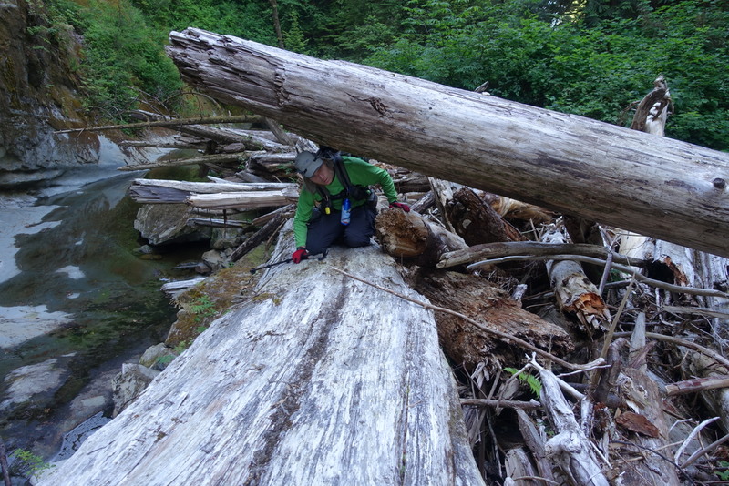
Finally, there is a short climb up a slope with loose holds. Look to the right of the creek as you reach the bridge and you should spot it. Again, this was lots of fun for us but I sure wouldn’t want to try it in the rain or with the creek rushing by.
Day 4 – Walbran Creek to Cribs Creek
11 km, 3 hours (plus breakfast at Chez Monique’s)
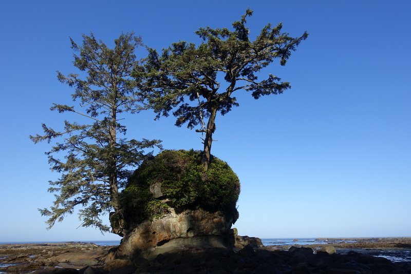
Past Walbran Creek the walking gets easier. The trail is less rugged and the beach is less rocky. The views are still beautiful, though, and you start to feel the remoteness of the wilderness around you.
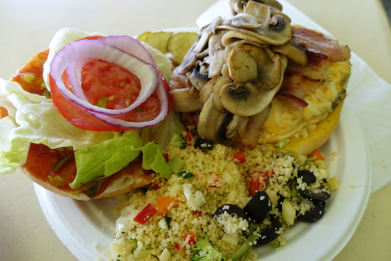
The highlight of this day – and I suspect this is true for everyone hiking the WCT – is a little shack on the beach known as “Chez Monique’s”. Not much more than a collection of tents and camp stoves, Monique sets up her kitchen every spring to serve omelettes and burgers to hungry hikers until the close of the season in October. Each spring she has to dig out piles of sand deposited by winter storms. Every day 50-60 hikers stop in looking for some tasty real food. It’s not easy serving up that much good grub when you’re working with little primus stoves and when the only way you have to store your ground beef is in coolers with ice. Every second day a boat delivers a new supply of meat and vegetables (and ice!)
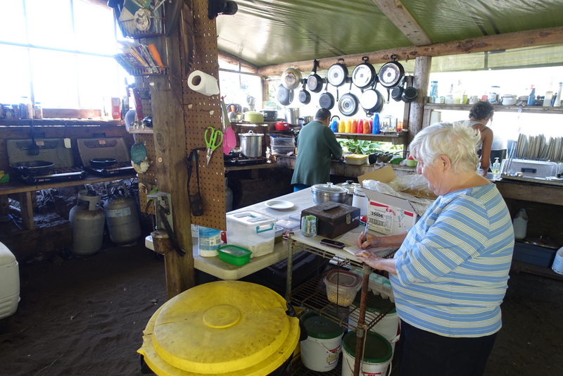
Monique is a great person to talk with. She’s full of trail wisdom, having seen thousands of hikers pass through her camp over the years. She’s got great stories too, like the guy who caught his sleeping bag on fire the first time he hiked the WCT then burnt up his tent the next year! One couple arrived on the trail with brand new never-opened gear only to realize that what they thought was a tent was actually an inflatable mattress. A father-and-son team wanted to make the journey into a spiritual cleansing quest by going without food. Apparently, they broke down and ate a record number of hamburgers.
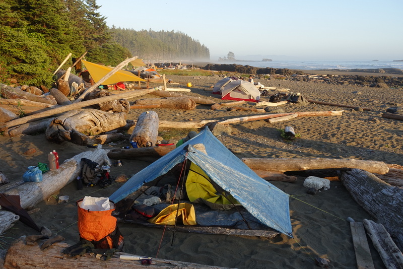
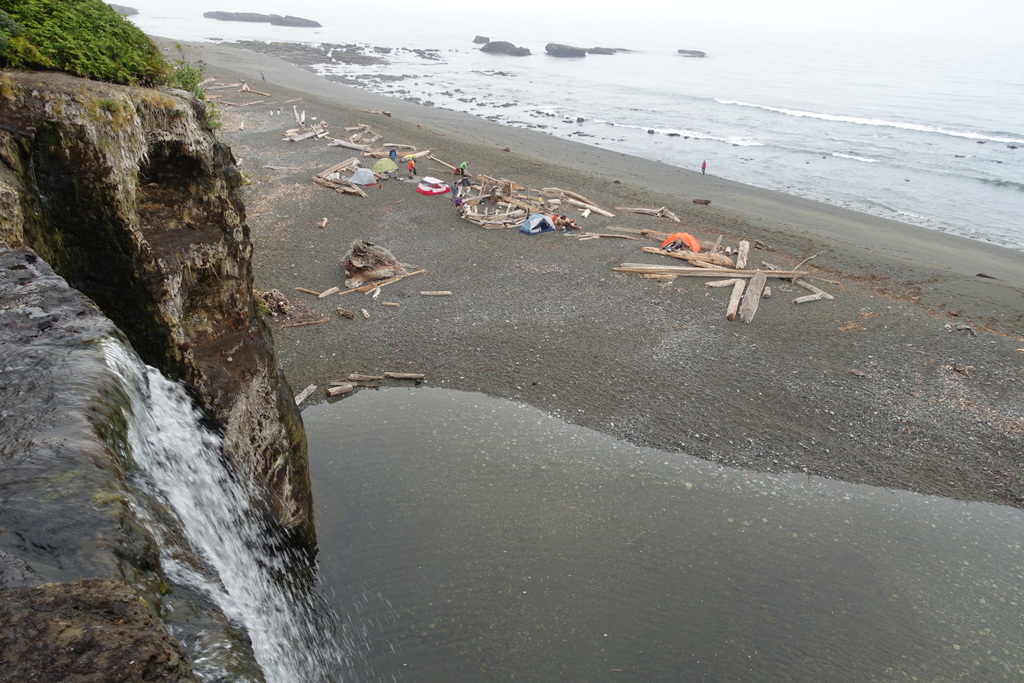
Day 5 – Cribs Creek to Tsusiat Falls
17 km, 4 hours (plus lunch at Nitinat Narrows)
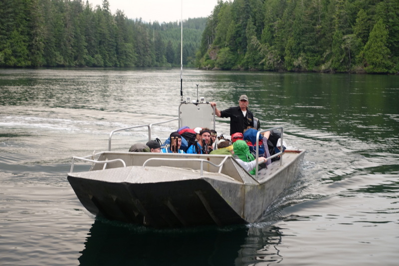
It’s another special day on the West Coast Trail. Why? Because we saw gray whales? Because they were spouting and diving in the distance? Because sometimes they even lifted their tails high above the surface for us to see? Well, yes, but it’s extra special because of the delicious freshly caught fish and lobster served up at the Nitinat Narrows ferry crossing by a fellow wearing a name-tag reading “Hippy Doug”. I was so hungry, I gobbled it up before I remembered to take a photo.
Day 6 – Tsusiat Falls to Darling River
11 km, 3 hours
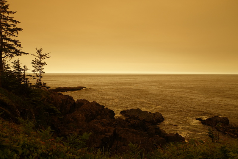
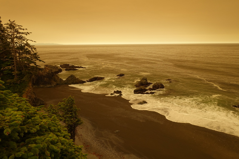
The weather throughout this trip was unusually warm and dry. During the day the sun shone strong and bright and the nights stayed very mild. This morning was no different. By 6am the sun was up and the heat of the day was upon us. Suddenly, however, the sky turned dark and red. It almost looked like a thunderstorm was about to hit. Yet, somehow it was different. An eerie red light made it feel like sunset had arrived – a sunset that lasted all day. Forest fire smoke wafted through the air. In the denser parts of the forest, it was so dark that it was hard to see!
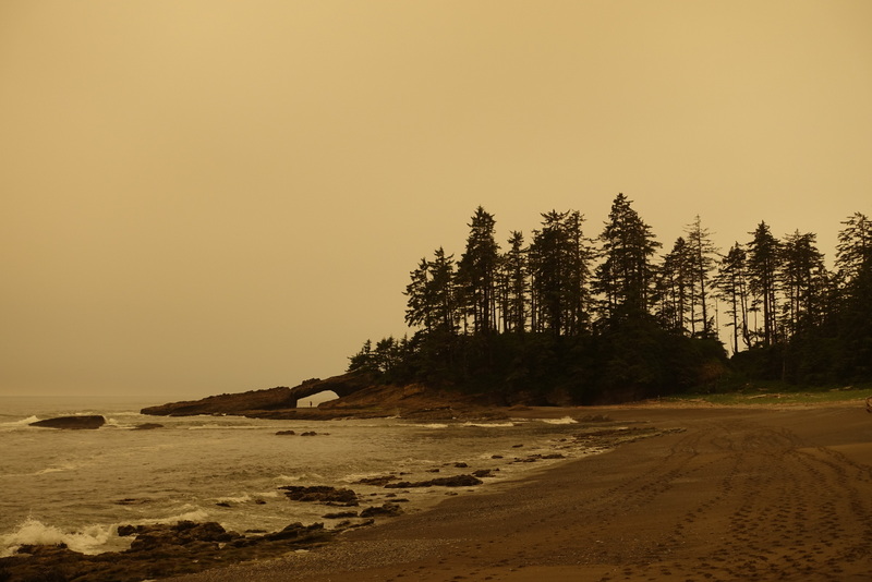
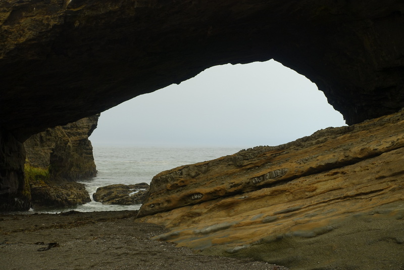
We barely made it through the cave at Tsusiat Point before high tide closed our window of opportunity. I had to time my escape so that the waves wouldn’t catch me and soak my feet.

Day 7 – Darling River to Pachena Bay
14 km, 3 hours
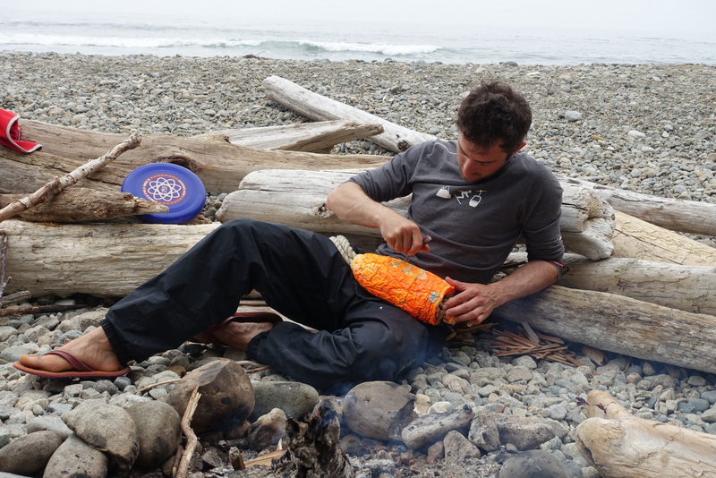
Our final day was uneventful. I enjoyed stopping at the Pachena Lighthouse and watching sea lions (not to mention smelling them!) It felt great to have completed another fun hike. Even though I’d done it once before, the dramatically different weather conditions and the more relaxed pace made it feel like a completely different trip. I enjoyed hanging out around the campfire and playing frisbee with Tristan and Stefan and sharing the walking with my brother.

sorry to nitpick….crab, not lobster
Good catch, thank you. I’ll update that.